Ever stared at Verra’s VM0048 paperwork and felt you needed a translator? You’re not alone. That mountain of acronyms and data rules can be enough to make anyone’s head spin. But here’s the thing: at its core, VM0048 is all about trust, and in Malaysia’s blossoming carbon market, trust is everything. Let’s break it down over a (virtual) cup of kopi.
Why VM0048 Actually Matters

Imagine you and your neighbor both bake banana bread using the exact same bananas and recipe—that’s what VM0048 does for carbon credits.
Buyers Say “Yes, Please!”
When auditors see consistent, transparent baselines across projects, they—and credit buyers—feel way more confident. That confidence often translates into a nice price premium.
Fair Baselines for Everyone
Before VM0048, developers could pick and choose their own deforestation data, leading to “let’s bump up our numbers” situations. Now, Verra picks one trusted data provider per region, so everyone starts on the same page.
Speedy Project Kickoff
Verra hands you the official data layers, cutting out weeks of hunting down maps or crunching raw satellite files. Ready, set, go!
What It Means for Malaysian Projects

Malaysia’s precious carbon —our mangroves, peatlands, and dipterocarp forests—store a staggering amount of carbon. Under VM0048:
- Mangrove & Peatland Projects
Whether you’re restoring Matang’s mangroves or rehabilitating Sarawak’s peat swamps, every project in the same state uses the same baseline data. No more apples-to-oranges comparisons. - Statewide Harmony
Peninsular Malaysia, Sabah, Sarawak—you name it, one dataset per jurisdiction. This means forestry officials and project teams all “speak” the same data language. - Credit Counts Get Real
Some projects may see fewer credits at first (bye-bye inflated estimates), but those credits are rock-solid. And if you’ve been conservative all along, you might actually see more credits than before. Win-win.
How Sastena Makes Your VM0048 Life Easy

Juggling baselines, satellite imagery, and forecasts can feel like spinning plates. That’s where we come in:
- Custom Baselines + High-Res Imagery
We start with our own rigorously and scientifically validated baseline data and couple it with our high-resolution satellite and drone imagery—so your project’s foundation is as firm as the ground you’re protecting. - Future-Ready Forecasts
Our AI models look 10–40 years ahead, giving you a clear picture of how your credits will play out under VM0048. Think of it as carbon crystal-ball gazing. - Audit-Ready Dashboards
Real-time trackers and one-click report exports mean you’re always verification-ready. Impress auditors and buyers alike.
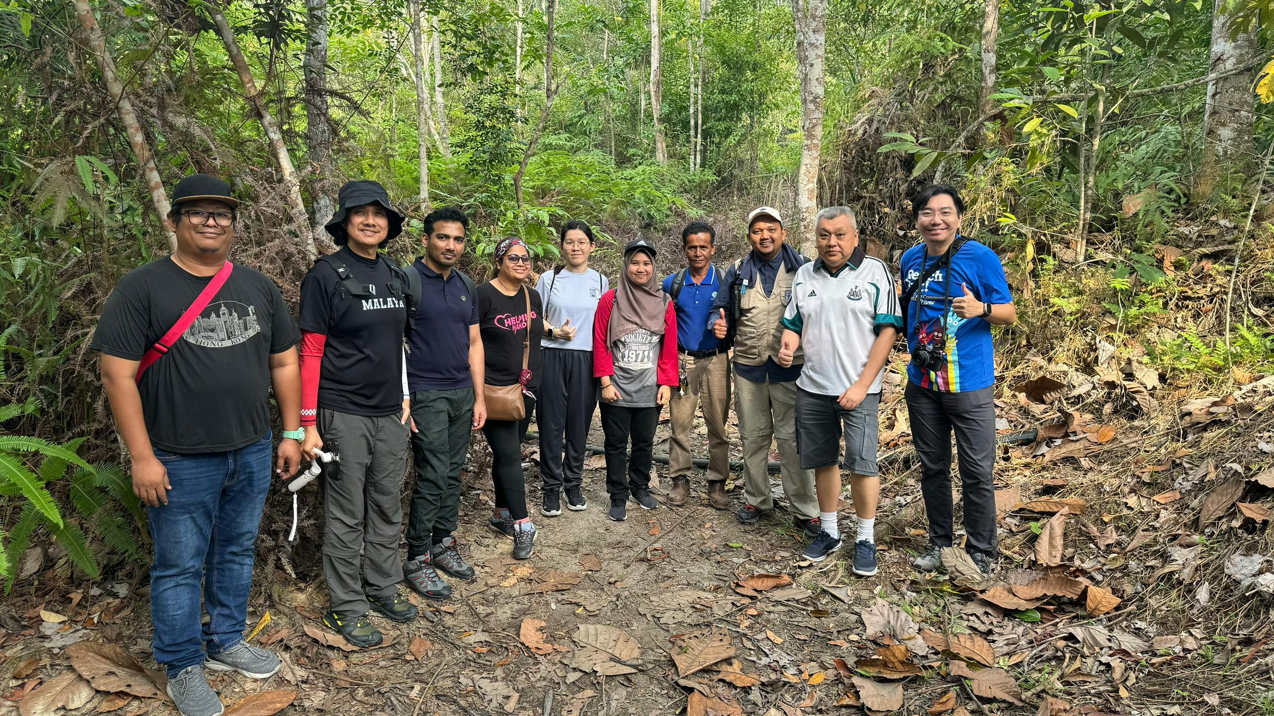
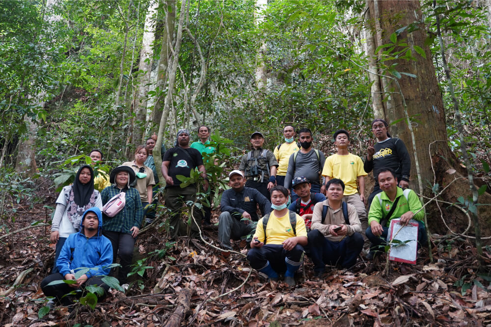
Local Roots, Global Perspective
By partnering with local stakeholders, policymakers, and NGOs, we bring you on-the-ground insights that turn data into meaningful action.
Let’s Get Your VM0048 Journey Started
The Sastena team are carbon modelling specialists based right here in Malaysia. We handle everything—from rapid pre-feasibility checks and detailed feasibility studies to project design, verification prep, and credit issuance forecasts.
📞 Grab your free 30-minute chat with our experts and let’s map out your VM0048 game plan: Book your slot here!
Here’s to building high-integrity carbon projects that make a real difference—cheers to that!